

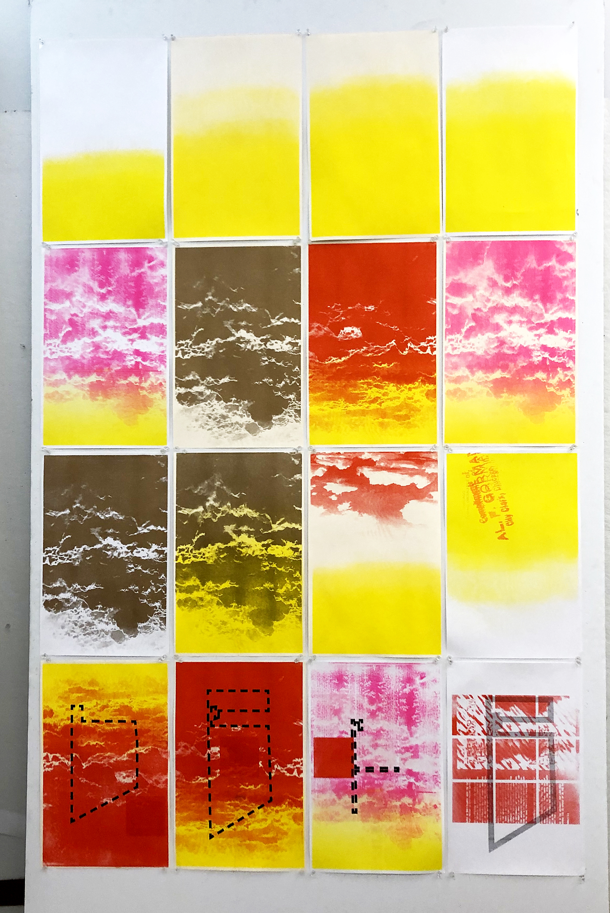


Walking Maps
In this project, I set parameters, as in a scientific experiment, to see what results they might yield, in order to visually document my pedestrian experience.
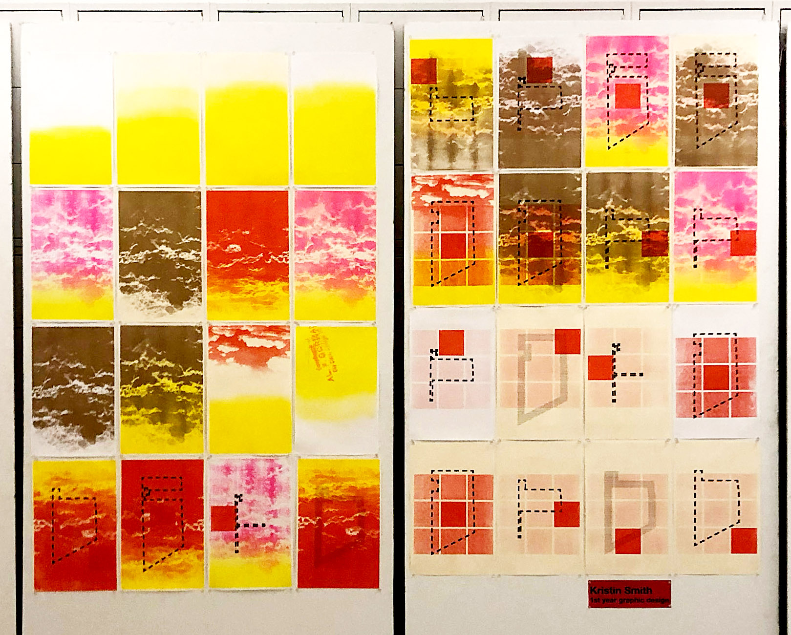
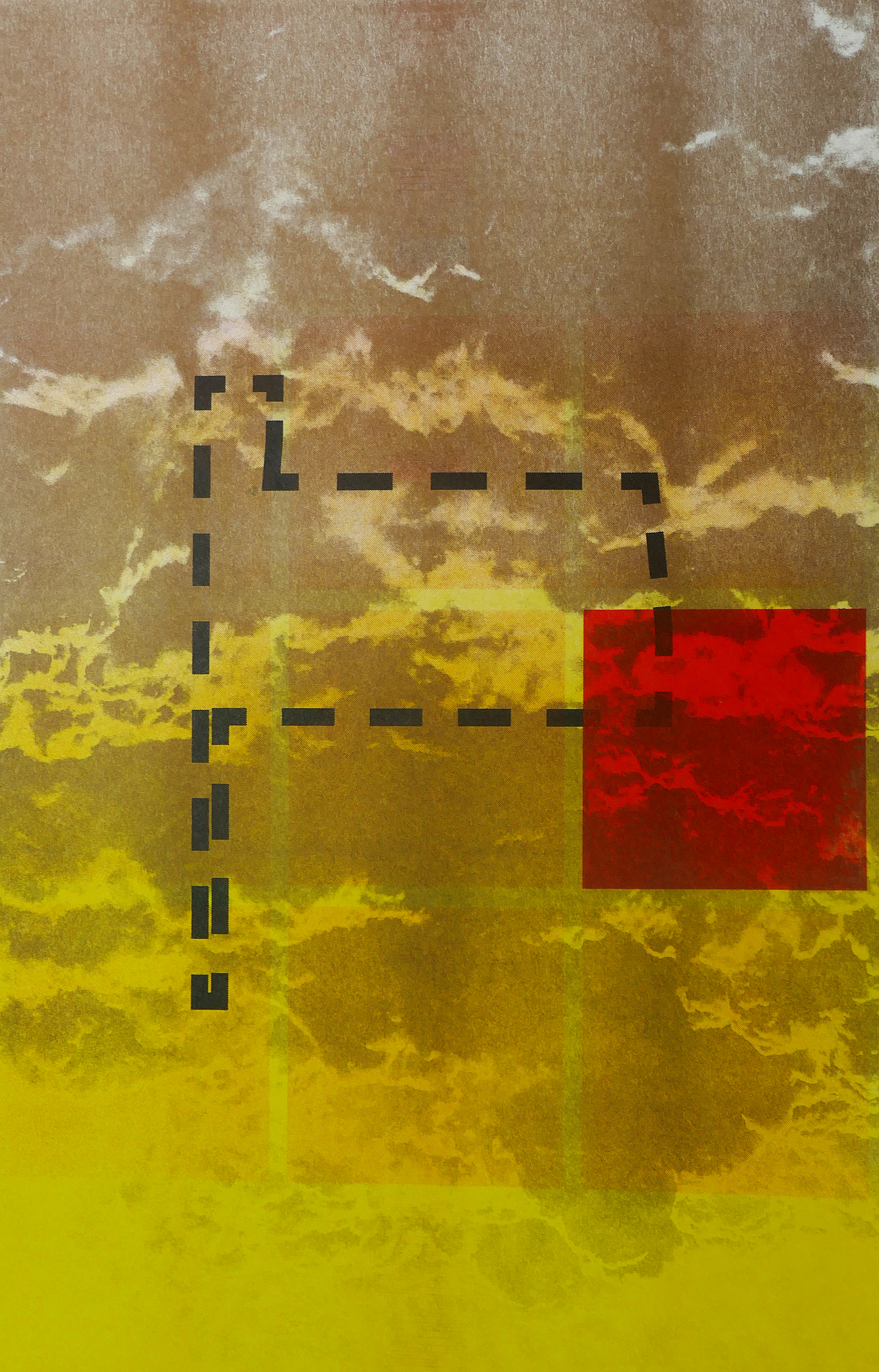
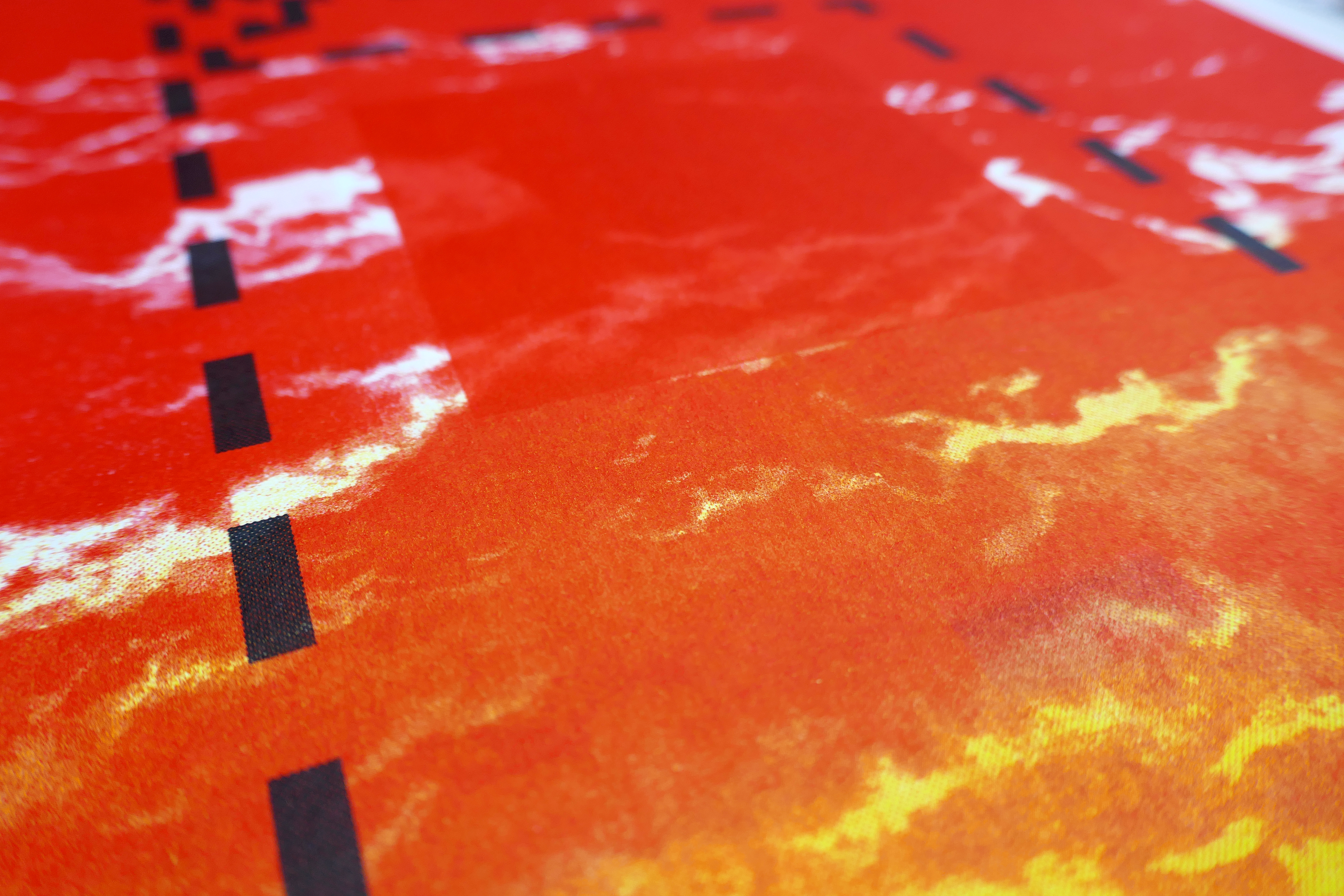
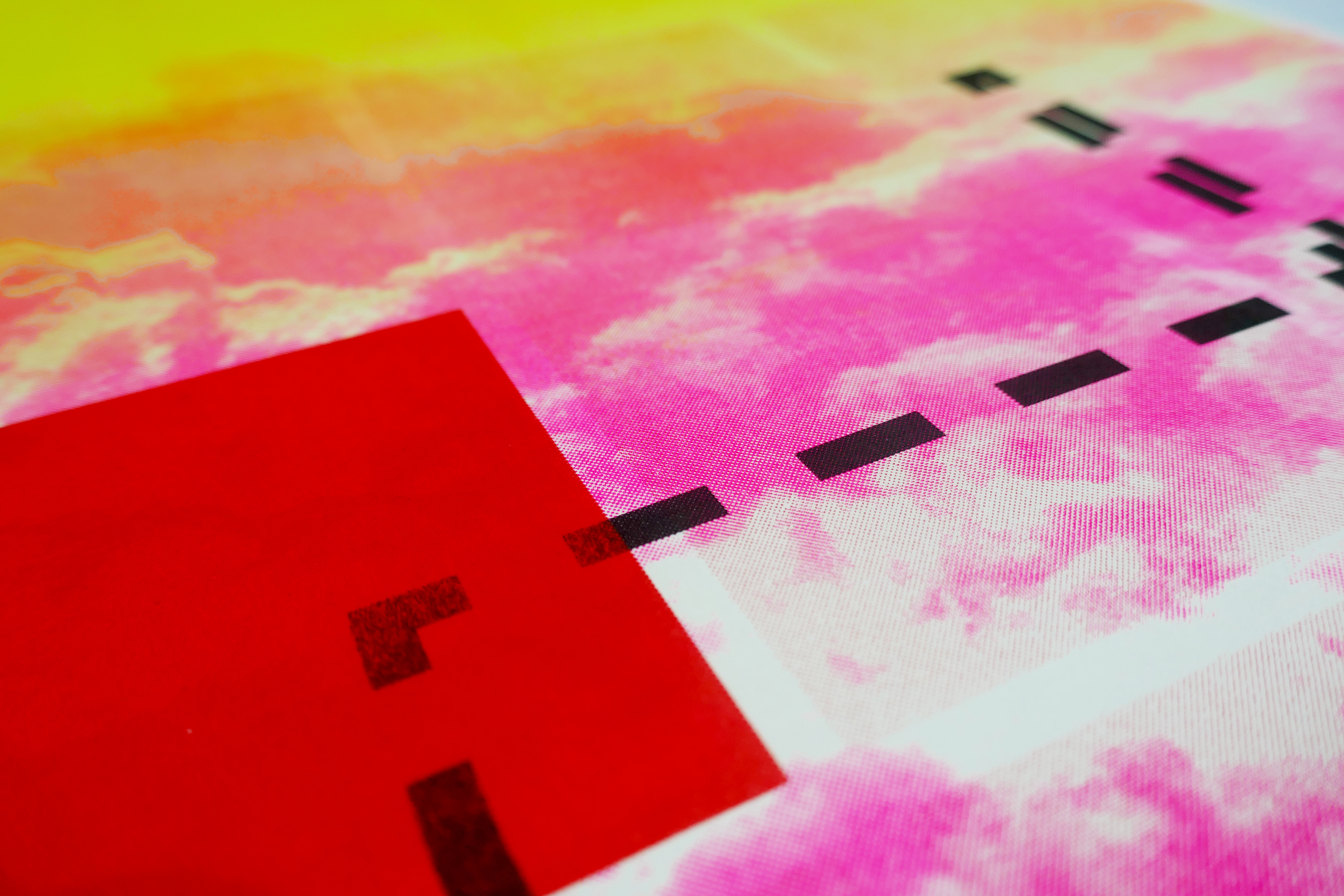
A set of data collected from each walk was translated into an image. I decided to limit my intake to a few very basic pieces of information: the time and day of the walk, the actual route, whether it was daylight or dark, and the weather: cloudy or clear. Each of these would be represented by a visual element in the composition. I began recording walks, several per day, spanning nine days in total. I sketched a simple map of my route and logged a few basic bits of information. I used a map of my neighborhood, Pilsen, Chicago, as a consistent structure on which to draw my walk routes.
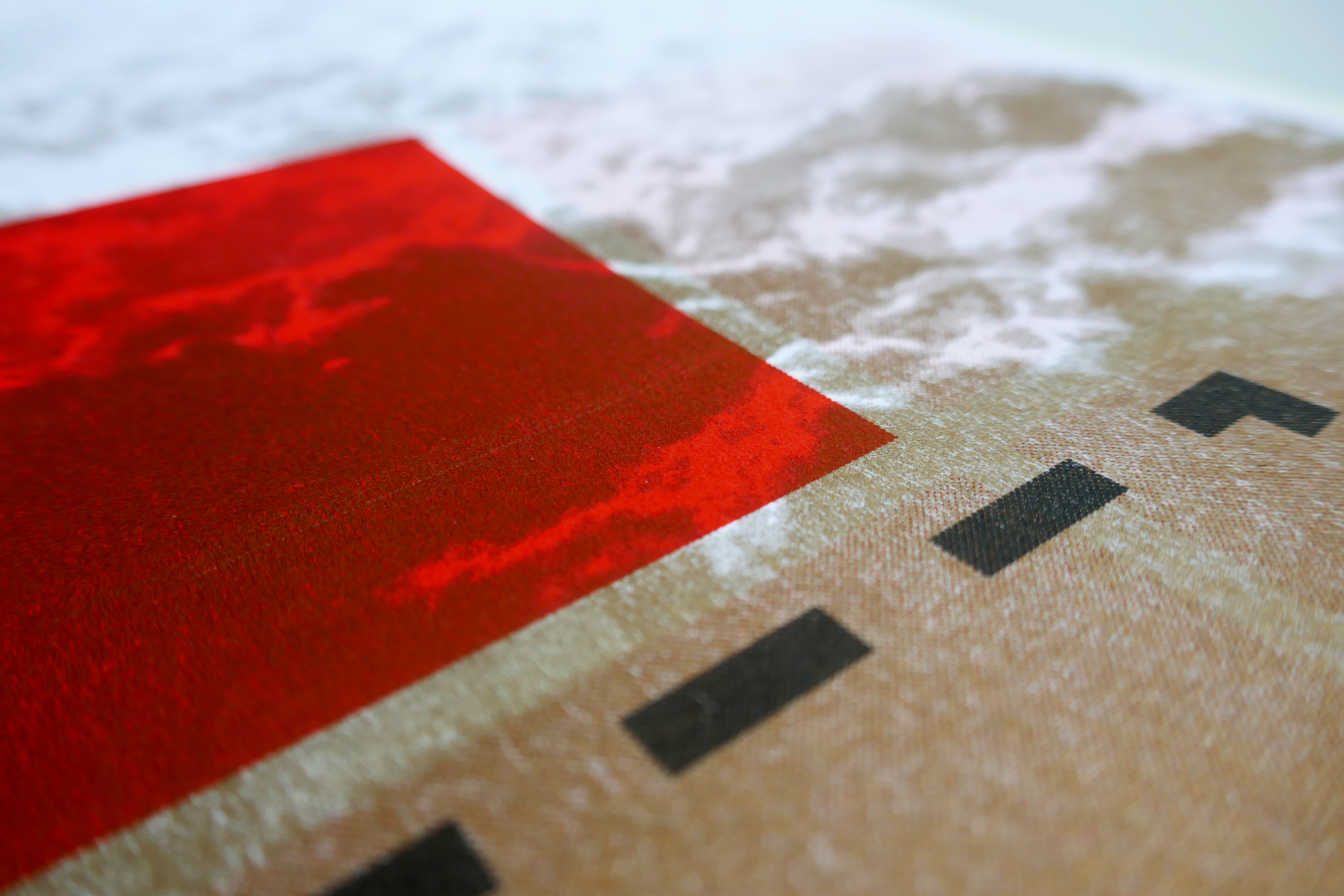
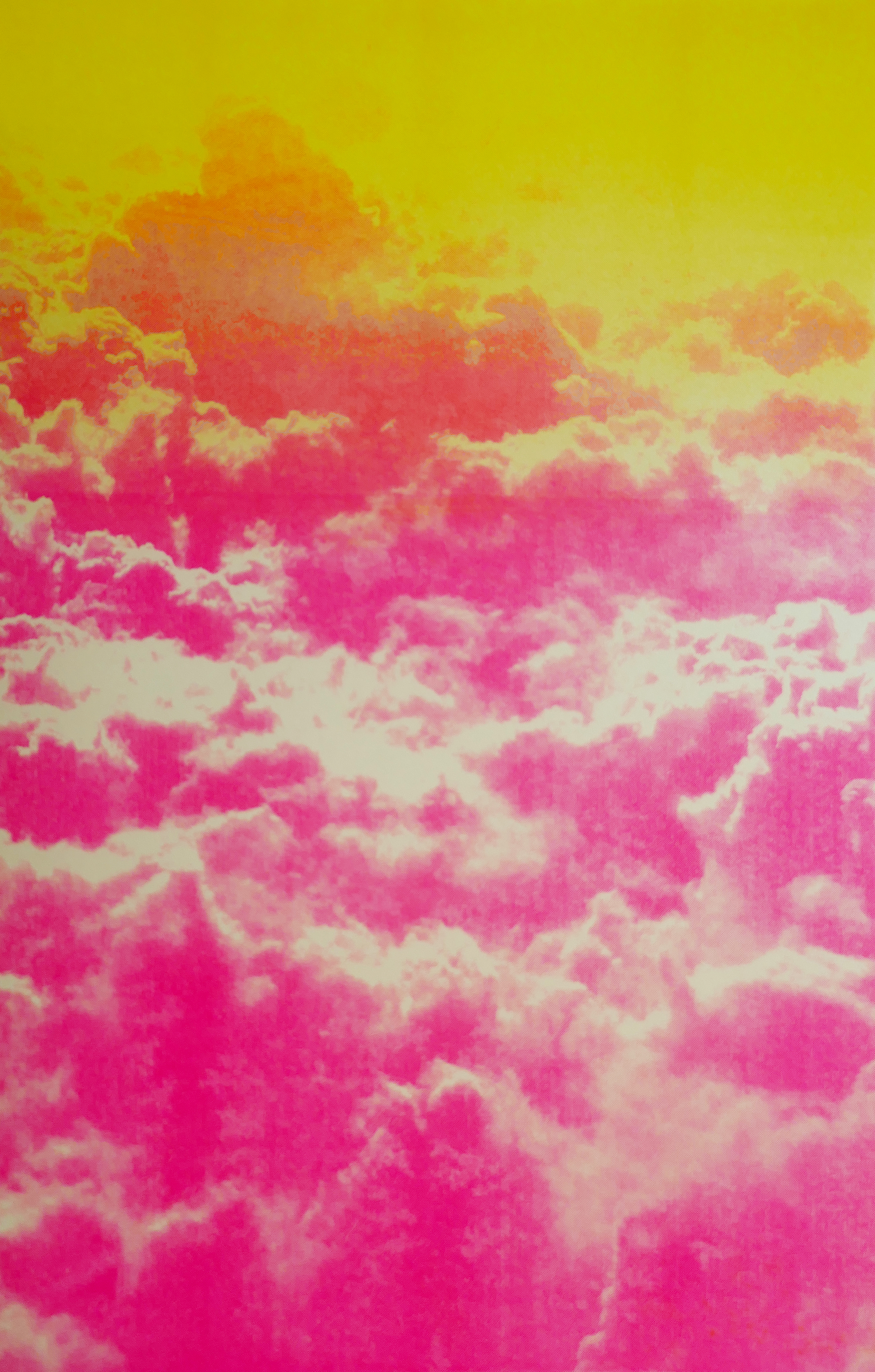
In addition to generating these compositions, I was interested in experimenting with the possibilities of Riso printing, exploring the ways different transparent colors would interact, creating additional colors, and the ways that dot patterns can be used to express different values. I generated many different variations, exploring the combinations of ink color, dot pattern, and transparency, as well as the outtakes that may occur and mistakes that may be made from using a mode of production that is unfamiliar. The compositions are not a coherent set of information, but a collection of experiments.